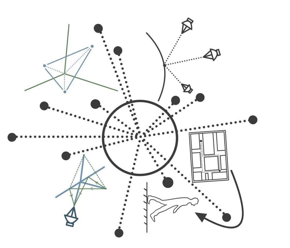
 After reading the Story of Your Life, we found that the perspective of aliens has huge differences when comparing to human beings’ perspectives, which may cause by the unique physical structure of aliens- seven limbs and seven eyes. The main purpose of our composition which may look somehow odd is to fit the reading-habit of aliens and to make our expressions and explanations more reader-friendly.
Overall, our pioneer plaque encompasses many elements and many of them are rotated at different angles. It may be hard to read this chaotic and disordered composition by humans, but aliens will be more comfortable capturing the information from this. According to the story, for aliens, “any direction might as well as be ‘forward’” because of their symmetry body structure, so even though the rotated picture disturbed to human, also fit the reading pattern for hetapods. Furthermore, referring to the story, the aliens will perceive their written character as a whole part, which means when integrating together, the separate elements will follow some fixed pattern or order to express certain meaning and grammar. So, Mia and I draw the whole composition reflects on the writing system for hetapods, which is a non-linear character writing system, with rotating small parts in different directions.
As for the main content of our Pioneer Plaque, Mia and I want to introduce the Global Positioning System (GPS) to the hetapods. According to the story, hetapods may not sense the concept of time, because they are simultaneously existing in multiple time levels. In this case, we attempt to utilize different colors to categorize our explanation: (1) with green and blue, we want to present the basic theories of GPS system; (2) with grey and black, we are trying to emphasize the application of this technology. By dividing into two parts, hetapods can perceive this system in the order they’d like two, which makes more sense for adapting their pattern.

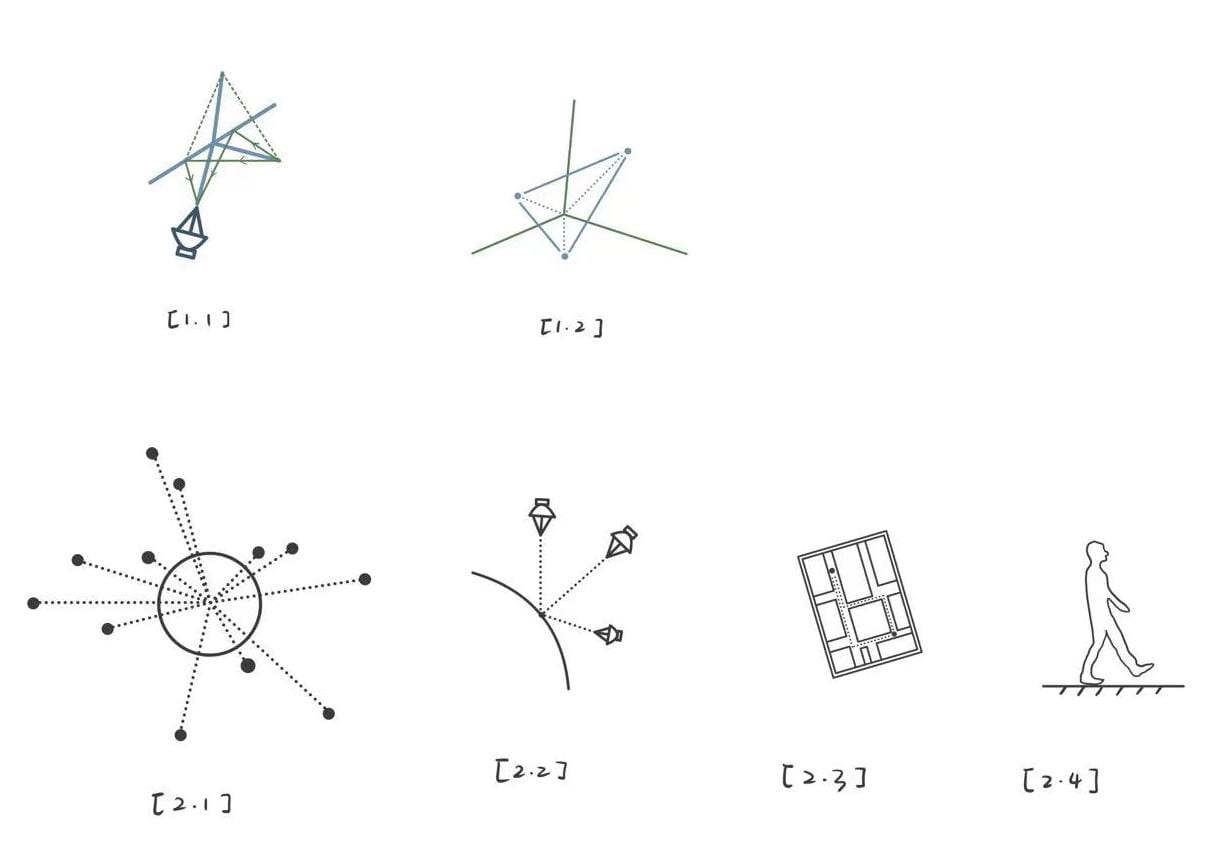
For the basic theories part, Mia and I thinking about how can we make it easily understandable to hetapods. We first think about Fermat’s Principle which hetapods can apply flexibly, which is also related to the GPS system (figure 1.1). Also, we explain how to measure the distance in the three-dimensional coordinate system (figure 1.2).
For the application part, we first present the satellite network around the earth which is the fundamental basis of the GPS system, lies in the center of our composition (figure 2.1). Then we show the process of how to locate one point in the earth’s surface (figure 2.2). After the human user using the Location App, trying to find the routine to the destination, the illustration of this scenario is presented by figures 2.3 and 2.4 — The human is walking in the road, holding a screen that is showing the multiple right directions to the destination.