Product:

Description:
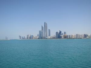
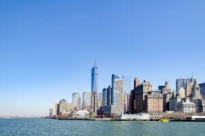
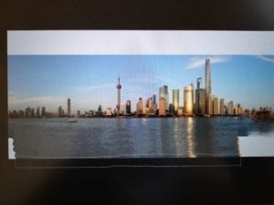
The first idea that comes to my mind to combine three images was to create a long landscape with the skylines of cities that NYU’s three portal campuses are located. Then, I started to search, and found these three photos:
 (Abu Dhabi)
 (Shanghai)
 (New York)
After I created layers for each skyline, I met several problems:
- I need to stretch one of the pictures to be the background, but it is hard to get the sky and sea expanded in a similar fashion. Then I tried different tools in the toolbar to figure out how I can fill in the blank areas. My first try was to use the “Content-Aware Move” tool. But I found it too slow:
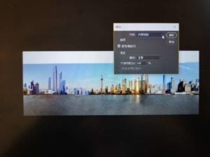
 Then I realized that I can select the blank area and fill in the color of “content-aware patching.” This is how I finally did:
- It is hard to get similar lightings to different buildings in the skylines. After I selected all the things I need as new layers and put all these into the expanded Shanghai skyline, I found the New York and Abu Dhabi does not match Shanghai’s sun color (as the picture above shows). Also, although I tried to find the original skyline pictures in similar resolutions, there are still some places where the resolutions between buildings cannot match. To solve this problem, I finally decided to make the whole picture black-and-white style and blurred it.
- It is hard to make the inverted image of these buildings in the water surface when I combine them together. To make it look real, I used the healing brush in the toolbar to copy the building on the land into the water. Then, I used the content-aware tool to make the inverted images integrated with the water surface. Since I cannot make sure all the images to be converted correctly and scientifically, I just cut down some portion of the water surface.