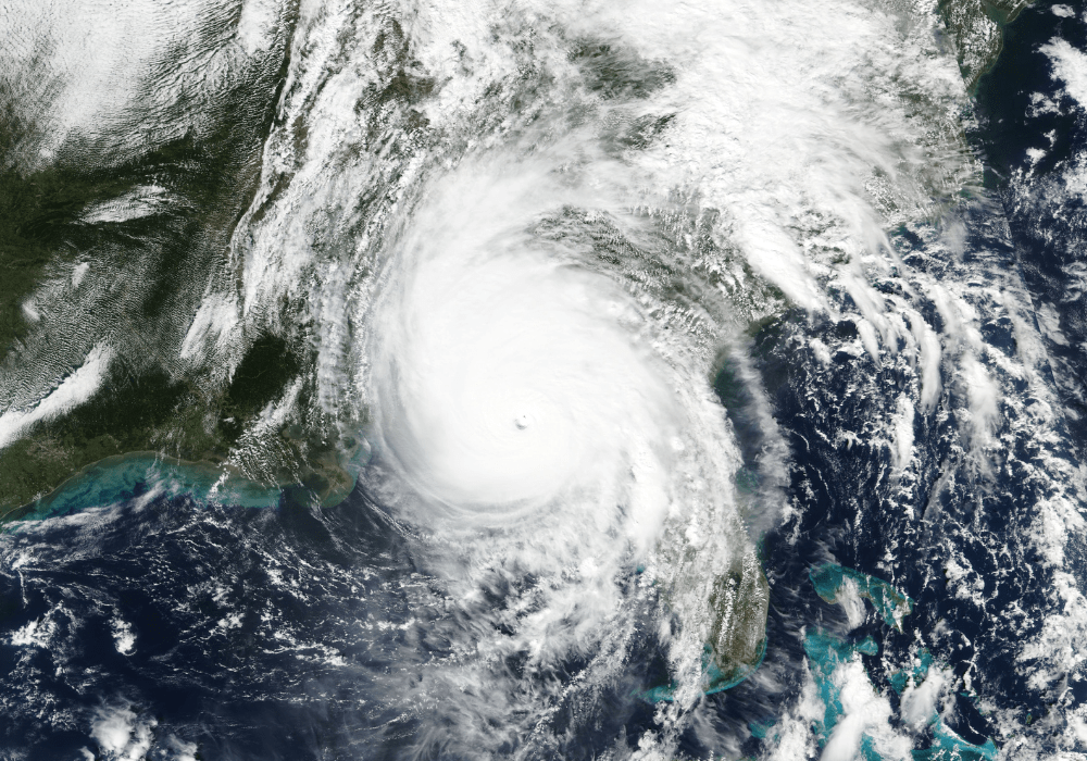
Introduction: New Orleans, Louisiana, is located in the southern United States, close to the gulf of Mexico and the Mississippi river. The city of New Orleans is 10 to 15 feet below sea level. The distance from the Mississippi river to Lake Pontchartrain in New Orleans is only 5 to 10 miles. Flooding is a major issue in New Orleans and one that will continue in the city due to its topography. Ideally a preparedness document like this would be 50-70 pages long and be written clearly enough so that any emergency staff member could read and understand it easily.
This Disaster Plan offers a procedure for the New Orleans, Louisiana, Health Department to follow during flooding emergencies to ensure the protection and promotion of the city’s residents’ health.
