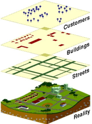
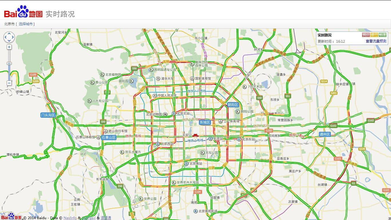
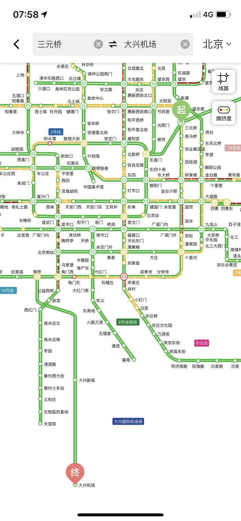
One we hear the word “map”, the first image jump into our minds is a scientific and objective object, a true representation of reality. Things are not that simple. For sure,mappings are “directly analogous to actual ground conditions”, yet “this analogous characteristic is the inevitable abstractness of maps, the result of selection, omission, isolation, distance and codification” (Corner, 1999, p. 90). Moreover, it is a creative project connected with cultural, social and political world. It is not only a reflection, it is the teller of a “story”.
Let us look into this example: a video mapping the increase of cities in China from 1949 to 2019. (link is here).
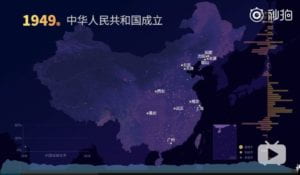
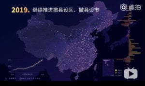
The author investigated cities of every year, divided them into three categories according to its administrative level and located them as points on the map. It seems a true representation of the real development of China, and of course the data is true. However, we cannot ignore the subjectivity hidden in the map. The administrative category really eliminated the differences of those cities. It certainly represented the size of a city, but it swept off the uniqueness of a city. All the cities were reduced to a point. The author did select certain feature of those cities and omitted the others whether consciously or unconsciously.
What else we can see are the strong political power on the city planning and Chinese economic trend. Looking through the whole change of map, you can find traces of policy. This series of maps revealed the strategy applied on city planning, including setting more cities at different levels as a general national policy and decreasing the number of cities in the 1960s, which is tightly connected with the macroeconomic adjustment in that age. Furthermore, the increase of cities is also the sign of Chinese economy development. More cities being set means more population migrating to richer areas. And if you are cautious enough, you will find an imbalance between eastern and western parts of China. It implies not only the political concern as well as the geography and possible resources’ merits of the east area. Though the author omitted the other features of cities, we can find their signs.
The objective map do includes the attitude of the author. It is a record of Chinese cities, but we can feel the patriotic heart of the author. The light points on the dark map are warm, leading to a potentially positive emotion feedback.
“The function of mapping is less to mirror reality than to engender the re-shaping of the worlds in which people live” (Corner, 1999, p. 89), it is the case here. Seeing mapping as a human practice, it should be put into social science studies. Everything has a background, and so is mapping.

