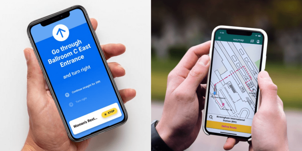
Maps, Apps, Oh My!

PROJECT DESCRIPTION
This project is focused on exploring two wayfinding and navigation applications, GoodMaps and Waymap. Both these applications are developed to help blind or visually impaired users to navigate through an indoor or outdoor space by following spoken directions. The goal of this project is to create visual guides for sighted folks to familiarize them with these applications to eventually help blind visitors in accessing currently inaccessible spaces.
TEAM NAME
We stuck with the original name, Maps, Apps, Oh My!, because it sounds exciting and summarizes our work and experience throughout this project. We have been learning a lot about two applications: GoodMaps and Waymap; both of them produce 2D or 3D models of a space or location in order to make navigation accessible for blind people. And ‘Oh My!’ has been our experience working with this project because we got to learn about many new technologies, and we hope when other sighted folks go through our visual guides, they learn about these applications and say, “Oh My! We should utilize them!”
GROUP INFORMATION
- Group Members: Carla Guzman*, Abhishek Rana
- Project Mentor(s): Cheryl Fogle-Hatch <c.k.fogle@gmail.com>
- Meeting times: Every Tuesday at 4:00 p.m. ET
OVERVIEW OF SIGNIFICANT ACHIEVEMENTS
- 2/14: Kickoff meeting together as a team to lay out a plan and do readings focusing on accessibility tools for the blind.
- 2/28: First meeting with our mentor, Cheryl Fogle-Hatch. Cheryl explained the final outcome of the project and discussed GoodMaps and Waymap.
- 3/21: Another meeting with our mentor; discussed all the information we gathered about GoodMaps and Waymap; brainstormed different forms of visual guides for sighted people.
- 4/20: Meeting with Cheryl to share updates about the visual guides.
- 4/28: Finished developing the visual guides for both applications.